Surf up to six feet and dangerous rip currents are hitting Coronado Beach through Friday, Oct. 9, as Hurricane Rachel pushes swells toward San Diego County's southwest-facing shoreline.
The National Weather Service (NWS) San Diego office issued a beach hazards statement that remains in effect through Friday evening. A separate coastal flood advisory runs until 2 p.m. Tuesday, Oct. 13. The agency expects surf of three to six feet, strong rip currents, minor coastal erosion and flooding of beach parking lots, boardwalks and roads.
High tides are expected to peak between 6.5 and 7.0 feet during mornings and evenings, the NWS statement said.
Rachel was spinning about 500 miles off the coast of Mexico as of Tuesday, Oct. 6, and is not expected to make landfall, CBS 8 reported. The swell is expected to peak Wednesday, Oct. 7, through Friday, Oct. 9.
Coronado Beach faces southwest. That puts it squarely in the path of the incoming swell, which is hitting south- and southwest-facing beaches hardest across the county.
Paul Steward, lead meteorologist at the NWS San Diego, told CBS 8 the existing erosion along local beaches could get worse. "There's already a lot of beach erosion going on, and this could possibly make it worse," Steward said.
San Diego Fire-Rescue Marine Safety Lt. Charlie Knight said the department is adding lifeguards to City of San Diego beaches in response. Knight told CBS 8 the heat wave is compounding the risk by drawing larger crowds to the water at the same time conditions are most dangerous. Coronado's own lifeguard service has not confirmed similar upstaffing measures.
An extreme heat warning remains in effect through Thursday morning, Oct. 8, for much of San Diego County, with temperatures in the 90s and 100s, according to Fox 5 San Diego.
The NWS warned that elevated surf creates strong rip currents that can pull swimmers away from shore. The agency advised the public to stay out of the water to avoid hazardous conditions.
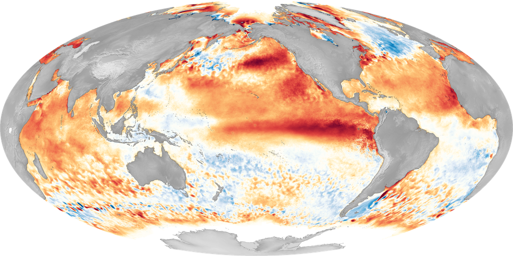
Long wave periods also increase the risk of sneaker waves, the San Francisco Chronicle reported Oct. 4. Water levels have been running more than a foot above NOAA tide chart predictions because El Niño-warmed seas push sea levels higher, the Chronicle reported.
Even after the advisories expire, tides are expected to remain around seven feet on Saturday, Oct. 10, with swells continuing through the week of Oct. 12, KTLA reported.
Residents near the coast should allow extra travel time, as some roads may close. The NWS advised against driving around barricades or through water of unknown depth.